In the age of the GPS, I haven’t bothered in quite a while to buy a roadmap. I haven’t needed one in a long time, and even when I’ve lost GPS signal I have been either close enough to home not to need it, or in a relatively small place where it is difficult to get too lost. The outer banks of North Carolina are an example: you’ve got very limited options until you’re driving straight into the ocean, so just keep moving along, all right?
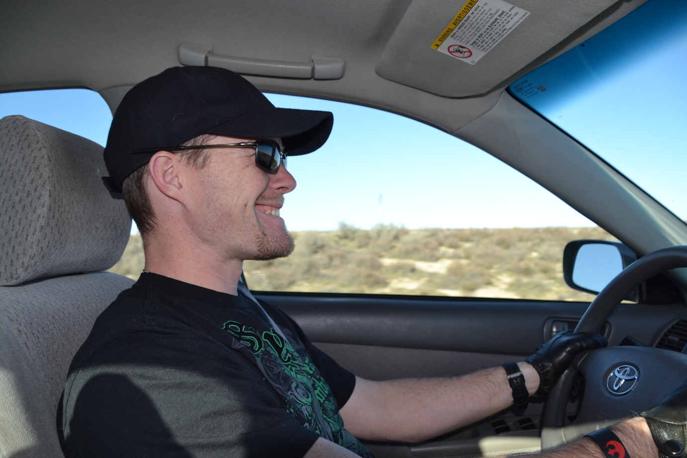
When heading to the Phoenix area for the renaissance festival the other weekend, J and I looked up directions and headed out onto the open road sans map. You might think this is a little crazy, except that from San Diego to Phoenix is almost a straight shot on I-8. In fact, we were actually going to Casa Grande, which IS pretty much a straight shot off of the 8. We’d researched and looked at a map at home and knew the best tactic was to fill the gas tank near the Arizona border and then just keep going across the desert as quickly as possible. Plus we had our trusty GPS!
Interstate 8 goes across southern California in an almost due-east (plus some local meandering) fashion. Growing up on the east coast, I never realized that the border between the US and Mexico is at a rather significant slant. Neither did J. Keep this in mind, but if you want to see for yourself, go map it.
So down the interstate we went, listening to the radio and enjoying the scenery.

And then we needed a pit stop.
There was an exit with “Services” signs (including a gas station, which means bathrooms!), so we exited and went along the off-ramp and found ourselves at another stretch of road.
It was an older highway, patched with tar, and no indication of which direction the gas station might be. We turned to the right and drove a couple of miles.
Nothing.
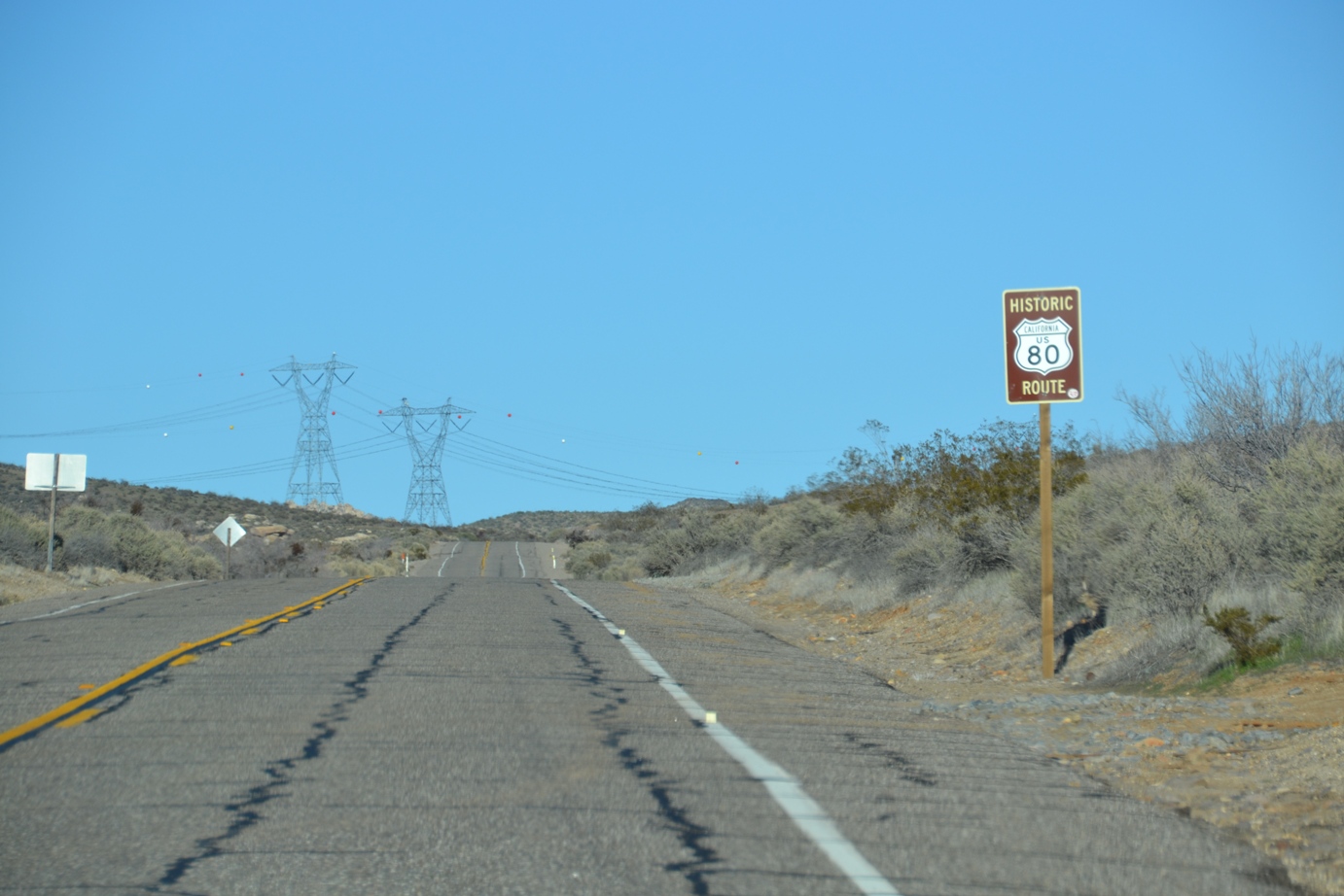
So we turned around and went the other direction. Still not much, except some old houses and such, but I noticed the sign: Historic Route 80. I’m a sucker for historic, scenic routes, and we could still SEE the interstate at that point, so we decided that since a good roadtrip always involves detours and adventures, we’d give the old road a try.

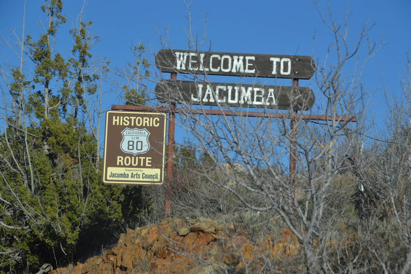
As we rambled down Historic 80, we started seeing small farms and old stone buildings and a dark metal fence that kept getting closer and closer. Wondering aloud about the fence, it suddenly struck both of us: we were looking into Mexico!
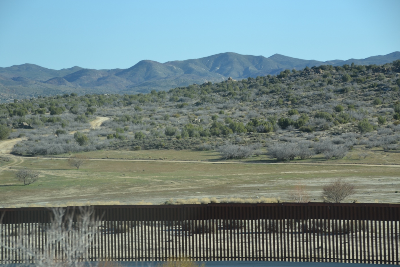
After about ten miles, we reached another entrance to the interstate, plus a rest stop where we could pull over for a bit. I bought a map then, and sure enough, we had driven as close along the border as you can.
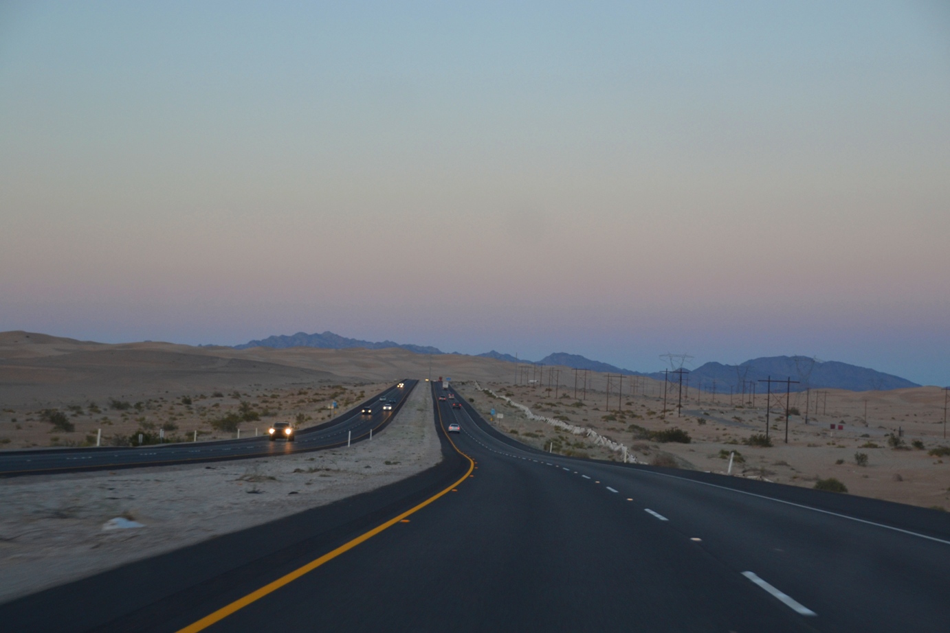
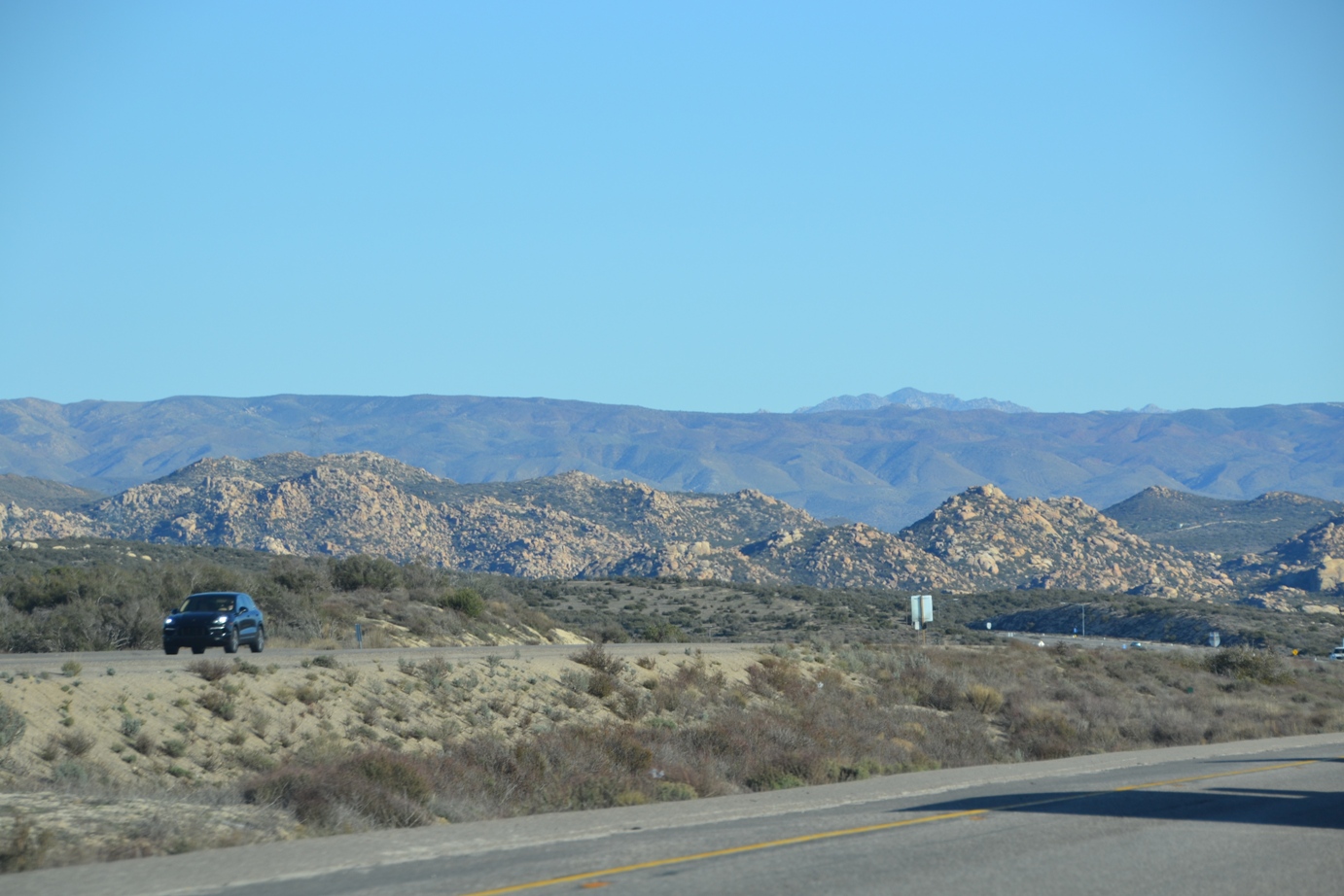
After that, we crossed the mountains and reached the Arizona line, then quickly passed into the wide flats of the Arizona desert. When land is that flat and dry, certain… smells… permeate the air. We knew every time we drove within ten miles of a ranch, for sure.
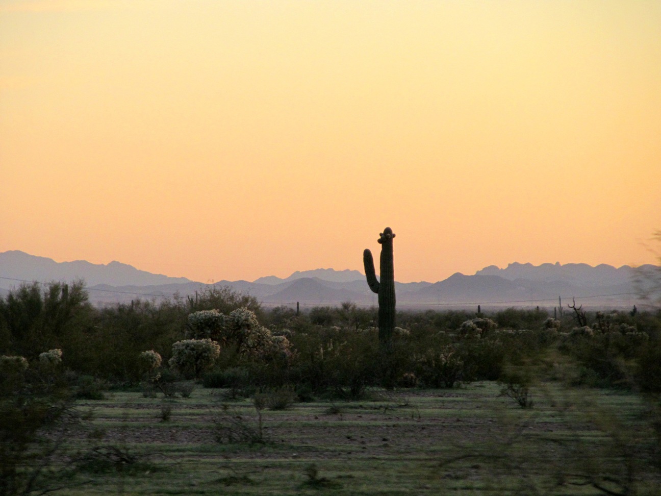
For a while, it was exciting to see the tall cacti that we’ve mostly seen in movies pop up on the side of the road. And the sunset was really spectacular behind the purple mountains. (And now I have seen Purple Mountain Majesties, though not so much of the fruited plain. Mostly it was sand. Maybe further north and east and not Arizona?)
But yes, the desert is beautiful. And large. As we discovered yet again on the drive back home, wherein our GPS took us to (literally) the middle of nowhere, and no map could have prevented it. But that’s another story for another day.

Leave a comment